KomodoSat
Class-leading multispectral imaging satellite

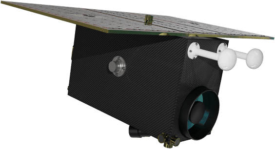
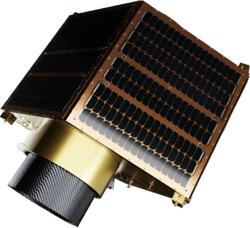
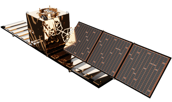
KomodoSat offers class-leading multispectral imaging for a range of Earth observation and space situational awareness applications. Up to six ηDragonfly buses can be launched on a standard 24" ESPA port.

KomodoSat Specifications
Spatial Resolution (GSD) at 500 km
1.5m PAN / 3 m MS in 11 bands
Swath at 500 km
15 km
Total Mass
60 kg
Lifetime
5 Years
Ground Imaging Coverage
1,2 million km² / day
Geolocation Knowledge Accuracy
120 m (3-sigma)
Pointing Control Accuracy
<0.01° (3-sigma)
Stability Control Accuracy
<0.005°/sec (3-sigma)
Slew Rate
Up to 12°/sec
Image Compression
RAW, J2K lossless or lossy
Fully Automated AOCS
Through target tracking
S-Band TMTC
400 kbps down, 150 kbps up
Data Downlink on X-Band
Up to 2.5 Gbps (Peak)
Orbit Average Power / Peak Power
Up to 70 W / 1200 W
Xenon Electric Propulsion System
Up to 11mN thrust, Delta-V: 230m/s


