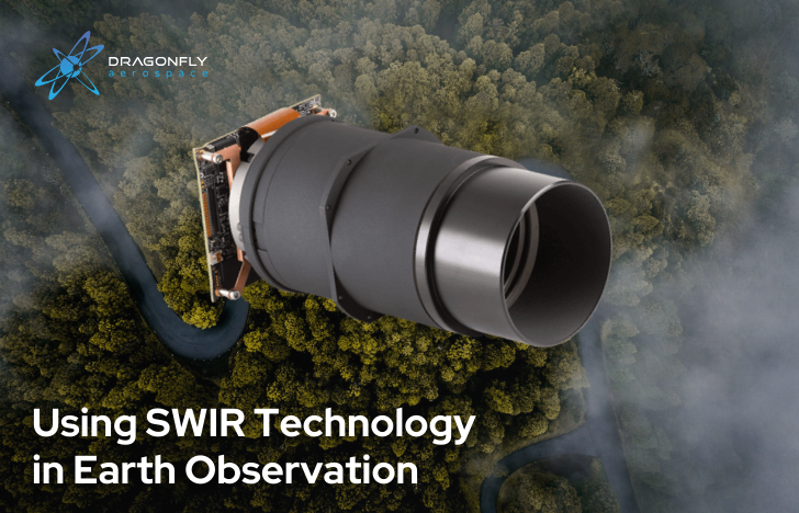
Earth observation technology is constantly evolving, and recent advancements have provided unprecedented insights into our planet’s intricacies, including short-wave infrared (SWIR) technology, a powerful tool that can provide data that changes how we perceive and understand Earth’s surface.
Short-wave infrared (SWIR) technology operates within the electromagnetic spectrum, nestled between the visible and mid-infrared regions. With wavelengths ranging from approximately 1–3 μm (micrometres), SWIR imaging enables the capture of electromagnetic radiation emitted or reflected by the Earth’s surface.
Unlike visible light, which can be absorbed by clouds and scattered by atmospheric particles, SWIR wavelengths penetrate these barriers to provide clear views even under challenging conditions such as cloud cover, smoke, or haze.
SWIR Principles of Operation
SWIR technology relies on spectral absorption and reflection whereby various materials interact differently with SWIR wavelengths, which results in distinctive spectral signatures. Through analysis of these signatures, valuable information about the composition, moisture content, and temperature of the Earth’s surface can be interpreted.
SWIR uses sensors with specialised detectors that can discern subtle differences in reflected or emitted radiation, and convert them into high-resolution images of the Earth’s surface and its features with astounding clarity and detail.
Spectral absorption and reflection
SWIR sensors operate within a specific range of wavelengths, typically between 1–3 micrometres. When sunlight or other sources illuminate the Earth’s surface, materials interact with this radiation differently. Some materials absorb certain wavelengths while reflecting others. This interaction creates unique spectral signatures for different materials, allowing SWIR sensors to distinguish between various surface features.
Penetration of atmospheric barriers
Unlike visible light, SWIR wavelengths can penetrate clouds, haze, and atmospheric particle barriers. This enables SWIR sensors to capture images even in adverse weather conditions or environments with significant atmospheric interference, providing clearer observations of the Earth’s surface.
Detection and imaging
SWIR sensors consist of specialised detectors capable of capturing radiation within the SWIR range. These detectors convert incoming SWIR radiation into electrical signals, which are then processed to generate high-resolution images. By scanning the Earth’s surface and measuring the intensity of SWIR radiation at different wavelengths, SWIR sensors create detailed images that reveal the distribution and characteristics of surface materials.
Spectral signature analysis
Once SWIR images are obtained, scientists analyse the spectral signatures of surface materials to extract valuable information. Different materials exhibit distinct spectral responses in the SWIR range due to their chemical composition and physical properties. Researchers can identify and classify surface features such as vegetation, water bodies, minerals, and urban infrastructure by comparing these spectral signatures to reference data or libraries.
Applications in Earth Observation
SWIR technology has diverse applications in Earth observation, including:
- Geological Mapping: Identifying mineral compositions, geological formations, and potential resource deposits.
- Vegetation Analysis: Assessing vegetation health, species distribution, and detecting stress factors such as drought or disease.
- Environmental Monitoring: Monitoring water quality, land use changes, and assessing the impact of natural disasters such as wildfires or floods.
- Agricultural Management: Optimising crop production, assessing soil conditions, and monitoring irrigation efficiency.
- Urban Planning: Mapping urban infrastructure, monitoring land development, and analysing heat distribution in urban areas.
Ongoing research and technological advancements continue to enhance the capabilities of SWIR technology in Earth observation. Innovations in sensor design, data processing algorithms, and integration with other remote sensing techniques are expanding the range of applications to improve the accuracy and efficiency of SWIR-based observations.
Additionally, efforts to increase the availability and accessibility of SWIR data will enable more widespread adoption of this technology for various scientific, environmental, and commercial purposes. By leveraging the unique capabilities of SWIR sensors, researchers and practitioners can address a wide range of Earth observation challenges and contribute to our understanding of the planet’s complex systems.
