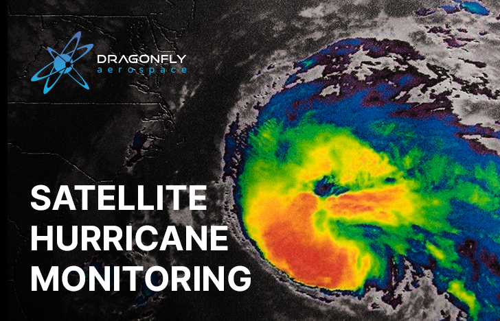
Hurricanes and cyclones, collectively called tropical storms, are becoming more powerful due to climate change. The Atlantic hurricane season in 2020 set new records in the number of these natural phenomena. From May to November, researchers recorded 30 storms and 14 hurricanes.
Seven of the 14 hurricanes in the 2020 season were assigned to category 3 or more, which is characterized by wind strengths of 111 to 157 mph and pressure drops of up to 917 mbar. These parameters are comparable to Hurricane Katrina (2005), one of the most devastating in modern history. It caused enormous damage along the southeastern United States and almost completely wiped out the city of New Orleans.
As a result, accurate forecasts are becoming increasingly necessary to keep people safe and minimize damage.
Satellite imagery has been providing a detailed look at weather systems, helping create thorough forecasts. With it, they can detect and assess aviation hazards such as fog, low clouds, monitor thunderstorms, and track the evolution of dust plumes.
But the biggest problems in forecasting tropical storms are in predicting their intensity and trajectory, including the anticipated location of a storm’s landfall.
Satellite survey of hurricanes is coming to the aid of meteorologists.
For example, NOAA’s Geostationary Operational Environmental Satellite (GOES) provides infrared images of the storm. Clouds absorb infrared waves and reflect the sun’s heat differently than from calmer areas. In the images from geostationary satellites, unstable areas are colored more intensely. Unfortunately, since GOES satellites operate with visible light channels, data acquisition is limited at night when the sun does not illuminate the storm.
Unlike geostationary satellites, those in a polar orbit collect storm data over cloud cover. They orbit the Earth, taking measurements from all longitudes as the planet rotates. The disadvantage of these surveys is that the satellites must complete a full orbit in order to provide data, which takes about 12 hours. During this timeframe, a storm may fully form and gain strength.
In 2022, NASA plans to implement the TROPICS (Time-Resolved Observations of Precipitation Structure and Storm Intensity with a Constellation of SmallSats) mission, which will reduce the data acquisition period to only 30-40 minutes.
The mission will consist of six 3U CubeSats. These compact 11.8 lb satellites will deliver rapid-updating microwave measurements over the wall – the dense cloud boundary that surrounds the calm area (“eye”) in the center of the storm. A study of this storm structure will provide clues as to whether the storm should be reclassified to a category above 3.
6 TROPICS CubeSats are planned to launch between January and July 2022.
The American Meteorological Society’s Monthly Weather Review, July 2021, stated that smaller satellites such as CubeSats are emerging as economic alternatives for providing important observations of Earth compared to traditional satellites.
The study of hurricanes and tropical storms by CubeSat missions will make forecasts more accurate, more timely, and more cost-effective. This will enable further protective measures to be taken as soon as possible during these natural cataclysms.
