
What are Remote Sensing Satellites, and What Are They Used For?
From a more general perspective, remote sensing satellites laid the foundation for the science of acquiring and analyzing information about phenomena or objects from a certain distance. As humans, we depend on visual perspective for information about our surroundings. However, our eyes are limited by many factors like viewing the visible range of the electromagnetic spectrum, perspective dictated by the location, and inability to form a lasting record.
Due to such limitations, we use technology to increase our ability to see and record the physical properties of our environment – namely, satellite remote sensing technology.
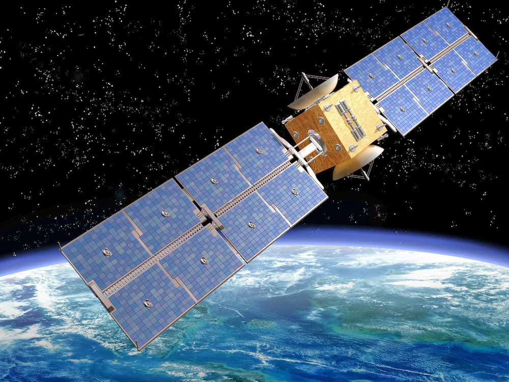
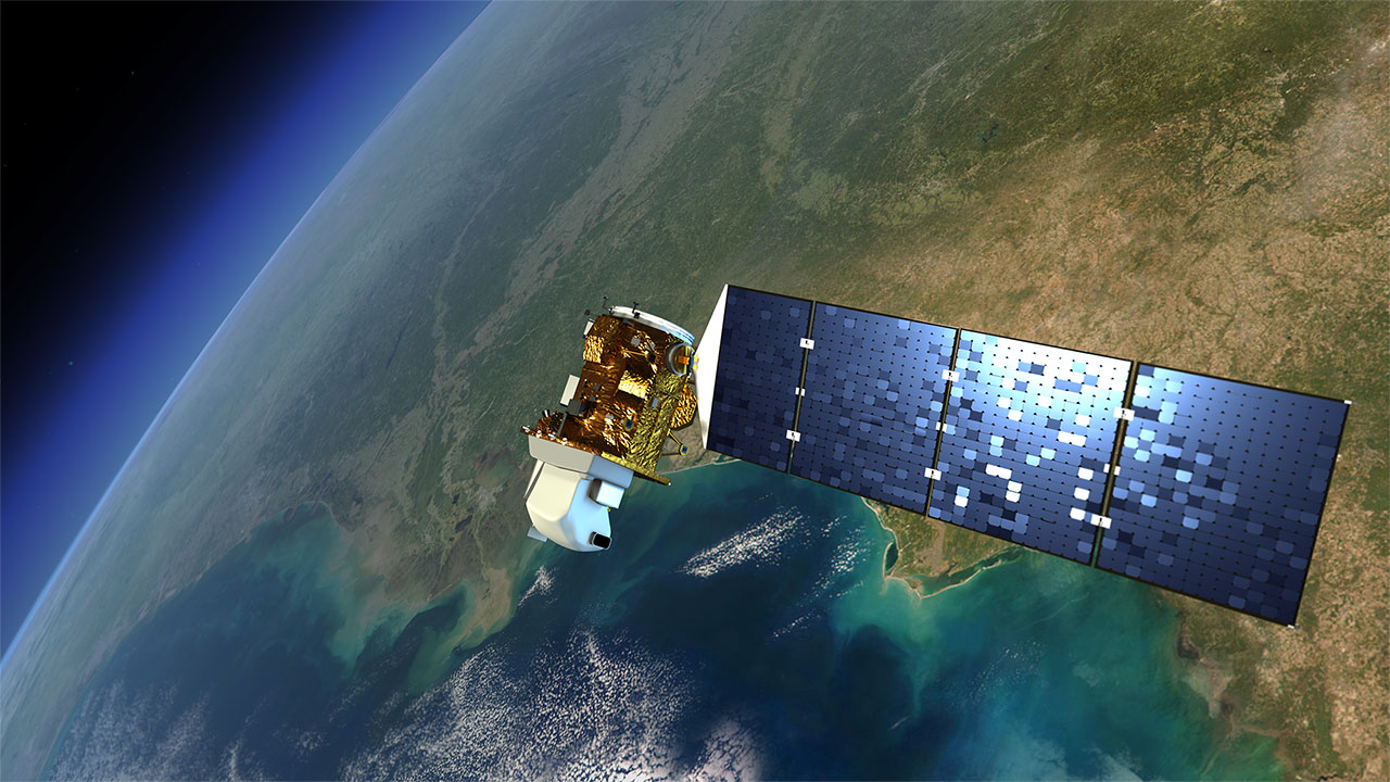
What are remote-sensing satellites? The remote sensing satellites definition states that these are sensors that detect energy being reflected from Earth. According to the remote sensing satellite meaning, these sensors are fitted on satellites and even mounted on aircraft.
Such data is often used to provide essential data that monitors different types of applications like land cover classification, change detection, and image fusion. It includes information related to the Earth’s environment and resources. Right from helping you find your home to guide civil defense personnel and manage natural disasters, this technology has many applications.
How Remote Sensing Satellites Work
How remote sensing satellite works? They observe and gather data from a distance, similar to a simple photograph. Precisely, remote sensing by satellite will capture electromagnetic ration on the microwave, ultraviolet, infrared, and visible wavelengths radiated, scattered, or reflected from the Earth.
These devices will take simultaneous images of the Earth’s surface in more than one wavelength, both visible and invisible (multispectral imaging). This way, you can bring out more latent information than ordinary photographs.
Usually, the remote-sensing satellite will click 4-5 photographs of the same area with different color filters. These filters help bring out different features distinctively like water, vegetation, soil, rocks, etc., something which would not have been possible otherwise.
This happens because each one of them will reflect the light of a different wavelength when sunlight falls on them. The filters will then separate these wavelengths and produce additional images after processing them. In most cases, the final image is formed after combining two separate images.
Unlike ordinary cameras, the multispectral cameras fitted on these satellites use the most advanced electronic detectors known as CCDs (Charge-Coupled Devices) to capture these images. Apart from being more sensitive than film, CCDs offer another advantage – they can directly convert the images into electronic signals for transmission to ground stations.
The First Remote Sensing Satellite In The World
The history of the modern remote sensing satellite can be traced back to the camera’s invention more than a century ago. While they were primitive, these devices were used to take ‘stills’ off the ground. It started the practice of looking down on the Earth via tethered balloons for topographic mapping.
Satellite remote sensing started at the early age of the space age. In 1946, V-2 rockets were launched into the sky. The automated cameras captured stills and videos as the vehicle ascended into the atmosphere; however, they could never attain orbit.
According to the study of the remote sensing satellite definition, most of the programs originated with the CORONA and Landsat programs. CORONA is a secretive military reconnaissance program, and Landsat is an open-Earth resource program. Both programs are still active.
Remote Sensing Satellites – An Overview
As mentioned above, this technology began with the early use of aerial photography. Soon, remote sensing satellites and their uses became valuable for viewing, studying, and making decisions regarding the environment. In the past few years, this technology has advanced on three fronts:
- Environmental analysis of atmosphere, ocean, and land for military purposes
- For sensors that convert electromagnetic spectrum to electronic signals
- Aircraft to satellite platforms
There are two types of sensors. Let’s discuss them below.
Active Sensors
Active sensors utilize internal stimuli to record data. For instance, a remote sensing satellite will project a laser on to the Earth and measure the laser’s time to reflect back to the sensor.
Passive Sensors
On the other hand, passive sensors react to external stimuli and record naturally-occurring energy that is emitted or reflected from the Earth’s surface. The most common radiation source that these passive sensors can detect is sunlight being reflected from the Earth.
Applications of Remote sensing satellites
There are many remote sensing satellites applications, in a wide range of fields, like:
1. Natural resource management
The satellites can be used to chart wildlife habitats, map wetlands, and monitor land use. The acquired data can minimize damage caused by urban growth and help decide the best course of action to protect natural resources.
2. Hazard assessment
Earth remote sensing satellites can keep track of flooding, erosion, earthquakes, and hurricanes. The data can help assess the impact of the natural disaster and even prep strategies before the hazardous event.
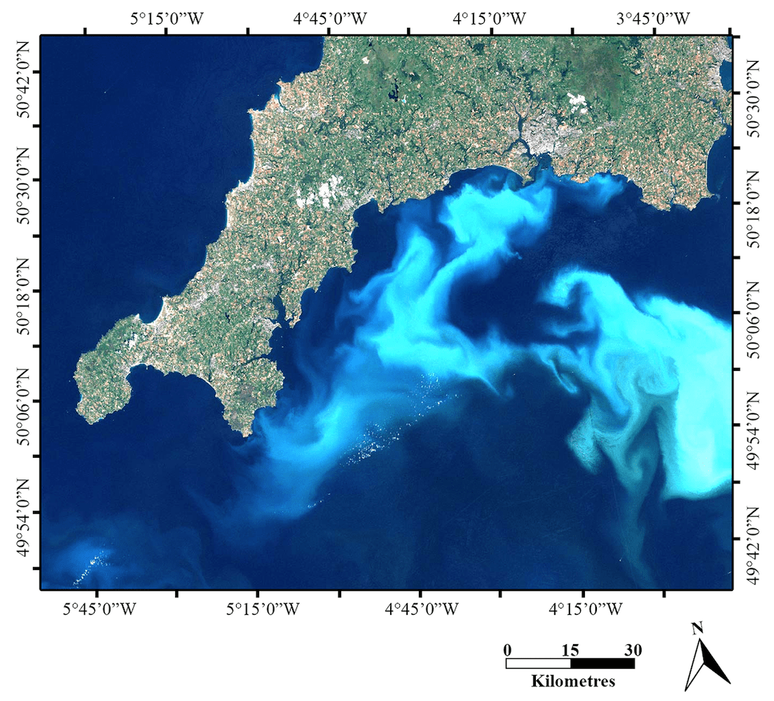
3. Ocean application
One of the many remote sensing satellite uses is tracking sea ice, measuring wave heights and ocean temperature, and monitoring current systems and ocean circulation. This technology will help you understand the oceans better and create strategies to manage the ocean resources best.
4. Coastal applications
With remote sensing satellites, you can map coastal features, track sediment transport, and monitor shoreline changes. Also, the remote sensing satellite data can be used for erosion prevention and coastal mapping.
Final Thoughts: What Are Some Active Remote Sensing Satellites Orbiting The Earth?
Some remote sensing satellites that are still active are included in this remote sensing satellites list below.
| Name of the remote sensing satellite | Agency | Launch Year |
| Aqua | NASA | 2002 |
| CALIPSO | NASA | 2006 |
| Global Precipitation Measurement | NASA/JAXA | 2014 |
| GOES-16, -17 | NASA | 2016 |
| GRACE-FO | NASA | 2018 |
| ICESat-2 | NASA | 2018 |
| Jason-3 | CNES/NASA | 2016 |