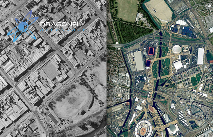
Space Week is celebrated around the world every year in early October.
Over the past 60 years, humanity has made some pivotal advancements in the industry.
These days, space research and technology have become essential in many areas of everyday life. In particular, planetary satellite observation helps keep natural disasters in check and prevent their widespread destructive effects, develop the geological and agricultural sectors, and manage ecological events.
The history of satellite observation of the Earth’s surface began in the early days of the space age, in the 1960s.
Prior to that period, aerial surveys were used to effect this monitoring. In the 1960s and 1970s, the task of Earth observation was taken over by satellites — the first program was Corona, a top-secret American military reconnaissance program with images only becoming public in 1995 to assist scientists in environmental research.
Since then, imaging technology has advanced from analog to digital. Digital imagery made it possible to analyze images using computers. Computer technology also actively developed during that period. Machines became more and more compact and over time began to return information in an intelligible graphical form.
New satellites for Earth surface research also began to be equipped with sensors that simultaneously operated across the electromagnetic spectrum.
It was now possible to view the same terrain with a series of images across the spectrum, which were beyond what the human eye could see. This technology was far beyond the analog aerial surveys, enabling increasingly accurate tracking of changes in the Earth’s physical environment.
Computer analysis of the images from remote sensing satellites made it possible to detect and track these changes.
The first satellite mission to monitor the state of natural resources was ERTS-A, which was launched in 1972. In 1975 it was renamed Landsat 1.
Today, the number of satellites monitoring the surface of our planet is vast. Natural and ecological disasters have permanently altered some landscapes and water surfaces. But thanks to Landsat and subsequent launches such as Sentinel-1 and Sentinel-2 under ESA’s Copernicus, Terra and Aqua MODIS of NASA and USGS, CBERS satellites, etc., we can now find many of those images online and see how the Earth’s surface has changed throughout this period.
Satellite images from 1982 can be found on the LandViewer web platform with a quick search by location and date across nearly 10 open-source image collections. You can find more historical images on USGS Earth Explorer.
Thanks to further advances in technology, satellite imaging equipment is becoming smaller and more precise. For example, innovative Dragonfly microsatellite imagers provide multispectral and hyperspectral imaging with a ground sampling distance (GSD, a measurement metric alike of megapixels) from 1.4 to 0.7 m, which is classed as high and ultrahigh resolution.
This means that satellite observation of the Earth has reached completely all-new heights. Not only does it provide better, more detailed, and accurate data for agricultural and geological development and environmental monitoring, but also better captures the changing surface of our planet with incredible accuracy for past and future generations.
