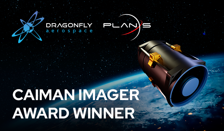
March 2022 — Dragonfly Aerospace, South Africa’s leading manufacturer of high-performance imaging satellites and payloads, has finalised the Caiman Imager Award program. Plan-S Satellite and Space Technologies Inc. from Turkey has been selected as the winner. They will receive a flight model of the state-of-the-art Caiman imager with a resolution of 3 meters designed for 6U CubeSats.
Dragonfly Aerospace received applications from a number of different exciting teams under the Award Program. The entries were of a high standard and selecting the winner was extremely challenging. After reviewing the applications and interviewing the finalists, Plan-S was selected as the winner. Their Connecta T2.1 Mission demonstrates their innovation and their desire to investigate and solve problems.
In today’s world, accurate and regular Earth observation is highly valuable for managing the impact of humanity and the health of the planet itself. At Dragonfly Aerospace, we consider this task of paramount importance. We have developed our line of high-performance satellite imagers to give our customers the tools they need to implement their innovative Earth observation missions. We want to help them explore the Earth, discovering new knowledge and possibilities for the future. That’s why we created this contest and are pleased to announce the winner today!
“We were impressed by the quality of the entries that we received and the plans that the entrants are making for gathering Earth observation data with the goal of maintaining a healthy planet and a promising and sustainable future. I am very pleased to award this high-performance Caiman imager to Plan-S, an energetic company that we believe has a great future and the potential to become a leader in the Earth observation industry” said Bryan Dean, CEO of Dragonfly Aerospace.
Plan-S Connecta T2.1 Mission:
Every year, dozens of large-scale forest fires occur in different parts of the world, millions of hectares of forest areas are destroyed and these fires seriously damage both the economy and ecology. At the same time, heavy rains due to climate change affect rivers or dams to overflow, flooding the settlements and deteriorate natural environment. It causes many people and animals to die, get injured or lose their homes and property or habitats.
Detection of such natural disasters in the first moments of their occurrence is of vital importance in terms of timely warning and evacuation of the people or animals living in the affected areas and ensuring that emergency teams can intervene in a timely manner and at the right location.
“Plan-S Connecta T2.1 is a technology demonstration mission for detection of such disasters at the outset of their occurrence and generating early warning messages directly to the local emergency teams. Connecta T2.1 will be a first step towards having a constellation of our satellites in Low Earth Orbit (LEO) with high-resolution multispectral cameras and IoT connectivity.” said Özdemir Gümüşay, CTO of Plan-S Satellite and Space Technologies.
The images of the areas under interest will be taken and used to detect wildfires or floods with machine learning and artificial intelligence methods. There will also be sensors (IoT devices) distributed over the areas under interest and these sensors will measure temperature, humidity, smoke, water level, or flow speed. IoT sensor data will be sent to the satellite and used to support the decision algorithms to lower the false alarm rates. Early warning messages including the estimated disaster condition and location will be sent from the satellite to IoT ground terminals located on the local emergency centres.
About Plan-S | www.plan.space:
Plan-S Satellite and Space Technologies, Turkey’s largest private initiative in satellite and new space technologies, was established in 2021. The main objective of Plan-S is to design, develop and produce satellite technologies and become a global player in the new space market. Plan-S also focuses on remote sensing technologies and aims to provide services based on satellite imagery to its civil or governmental customers. Some of these services are disaster management, land monitoring and smart agriculture applications.
About Dragonfly Aerospace | www.dragonflyaerospace.com:
Dragonfly Aerospace designs and builds compact high-performance imaging payloads and microsatellites which enable large imaging constellations that provide persistent views of the Earth in a wide range of spectrums giving unprecedented business intelligence and improving the lives of people around the world.
The Dragonfly imager portfolio includes CubeSat cameras (Gecko, Mantis, Chameleon and Caiman) with resolution up to 3 meters and SmallSat cameras (DragonEye and Raptor) with resolution up to 70 cm. The microsatellite bus products (µDragonfly and Dragonfly) provide the platform for high resolution electro-optical and synthetic aperture radar (SAR) imagers.
